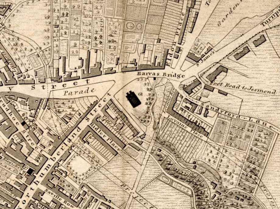
Detail from Thomas Oliver’s 1833 map of Newcastle. Oliver orientated his map so that North is (relative to a clock face) at about 2 o’clock, rather than 12 o’clock, as on modern maps
Detail from Thomas Oliver’s 1833 map of Newcastle. Oliver orientated his map so that North is (relative to a clock face) at about 2 o’clock, rather than 12 o’clock, as on modern maps